If you are considering a Monte Sereno lot in 87506, your decision will come down to views, privacy, and how well the land supports your vision. A survey is the tool that turns that vision into clear facts. It helps you confirm boundaries, understand the slope, and spot any issues before you commit. In this guide, you will learn which surveys matter most in Monte Sereno, when to order them, and how to use them to design a home that fits the site. Let’s dive in.
What a survey tells you in Monte Sereno
A good survey gives you confidence in three areas: where you can build, how the land will shape the design, and what might limit future plans. You will see exact lot lines and corners, so you can avoid encroachments or fencing mistakes. You will also get a clear picture of slope, ridgelines, and drainage, which affect driveway placement, foundation type, and cut or fill. Finally, you can identify easements, setbacks, and any recorded restrictions that guide how you position the home to protect views and privacy.
Key survey types you will use
Different surveys serve different needs. On a Monte Sereno lot, you will likely use a mix of the following.
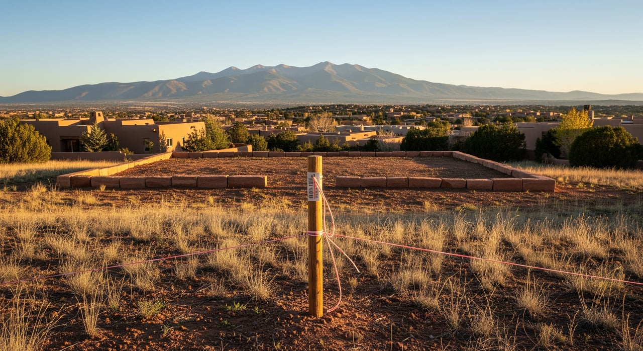
Boundary survey
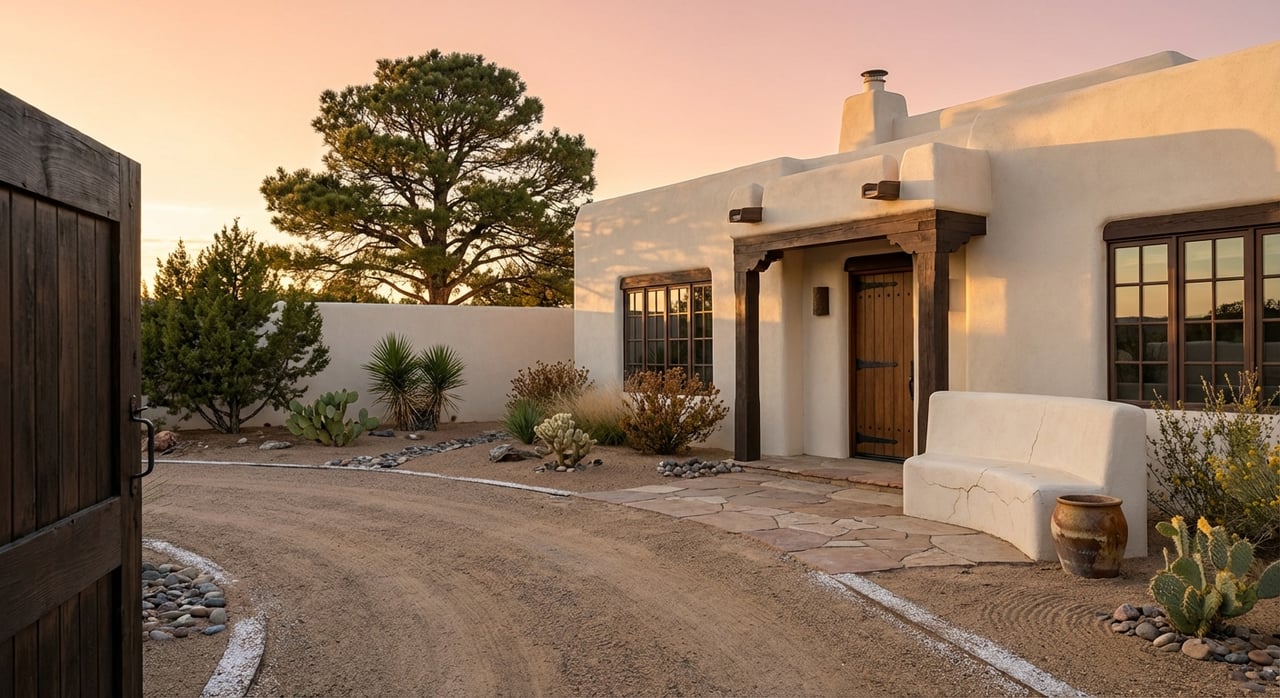
A boundary survey marks your property corners and lines and shows recorded easements. It may also call out visible encroachments, like a fence or wall crossing a line. You use it to verify the parcel you are buying, confirm setbacks, and mark any proposed building envelope in the field. Expect a drawing with dimensions, found or set monuments, and references to the recorded plat and deed.
Topographic survey
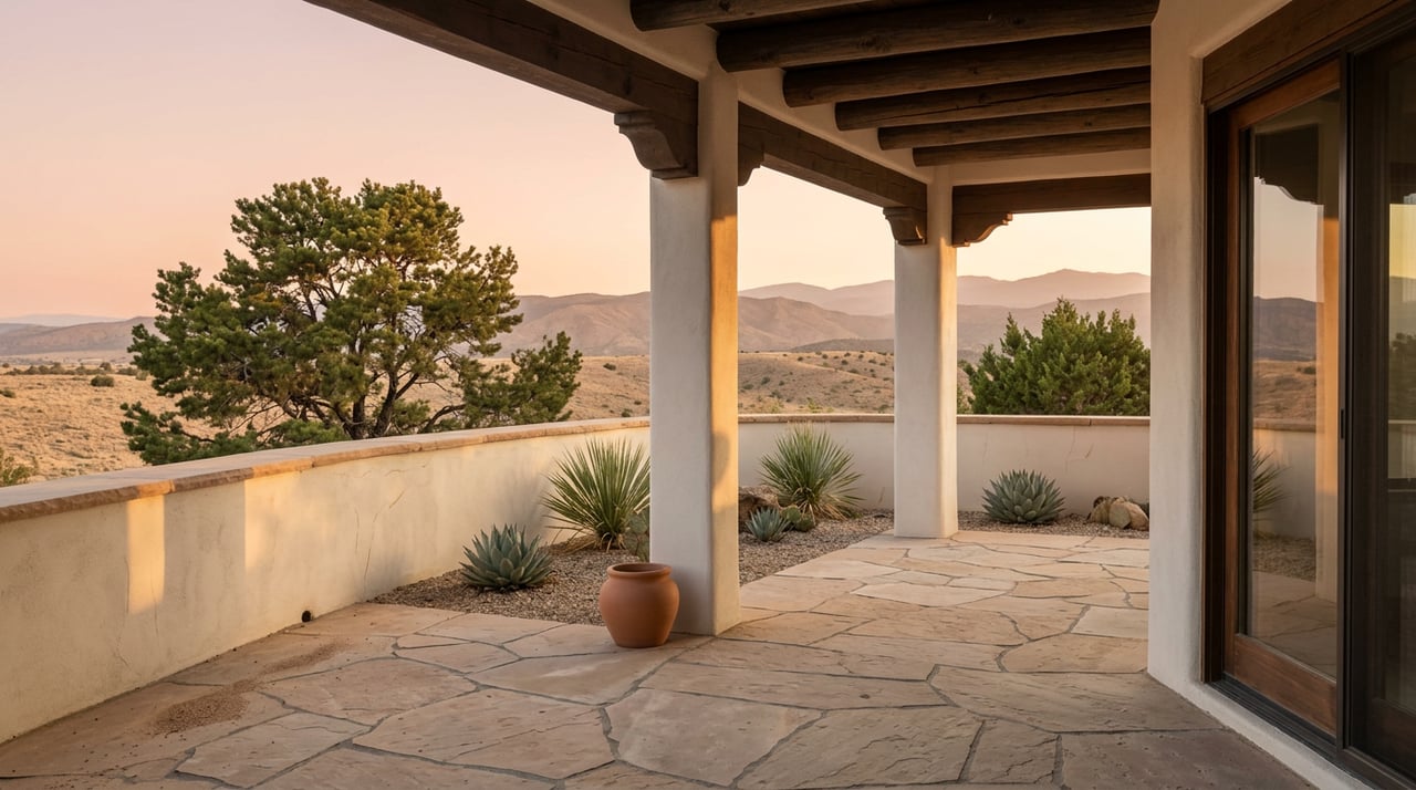
A topographic survey maps the shape of the land with contour lines and spot elevations. It also locates surface features such as driveways, rock outcrops, walls, and major trees. In Monte Sereno, the topo is essential for siting the home to maximize views while managing slope, grading, and drainage. Designers use it to plan driveway alignment, estimate cut and fill, and study sun, shade, and view corridors.
ALTA/NSPS Land Title Survey
An ALTA/NSPS Land Title Survey is a comprehensive product often required by lenders and title companies on high-value or complex deals. It coordinates with a title commitment to show easements, rights-of-way, access, and improvements. Some ALTA surveys include topographic elements. If your lender requests it, plan for the added research and coordination it requires.
Improvement Location Report or Certificate
An Improvement Location Report (ILR/ILC) is a lighter tool that shows where existing improvements sit relative to lot lines and easements. It can help confirm setback compliance but does not replace a boundary survey for design or dispute resolution. It usually does not locate underground utilities or provide design-grade precision.
Construction staking and as-builts
Once you finalize plans, your surveyor can stake corners, utility runs, and grade control so the builder places everything in the right spot and at the right elevation. After construction, an as-built survey confirms locations for final approvals.
Local factors that affect your survey
Monte Sereno sits within the Santa Fe area, where hillside and view-lot rules can be specific. Your survey is the base map that connects these rules to your site.
Jurisdiction and permitting
First, confirm whether the parcel lies inside City of Santa Fe limits or unincorporated Santa Fe County. Jurisdiction affects zoning, setbacks, height limits, and which planning department you will work with. Your assessor/GIS records and recorded plat help answer this early.
Setbacks and building envelopes
Setbacks come from the local land development code and any recorded plat notes or covenants. In scenic and hillside areas, there may be rules tied to ridgelines, view corridors, and height. Your survey should reflect lot lines, easements, and any recorded building envelopes so you can see the true buildable area before you design.
Easements, access, and shared roads
Utility, drainage, and access easements are common on foothill lots. Your boundary or ALTA survey will locate them. If your access is via a shared drive or private road, review any maintenance agreements and how they affect costs and future improvements.
Views and ridgeline protection
Many neighborhoods near Santa Fe address ridgeline development to preserve the natural skyline. Your topo survey and setback data help you model roof heights, cut or fill limits, and placement that respects these rules while capturing views. That same data helps you estimate where a neighbor could build on their parcel.
Environmental and cultural considerations
Northern New Mexico sites can trigger cultural resource review when ground disturbance is proposed. Firewise landscaping and defensible-space practices may be part of site planning. Drainage plans are often required on sloped lots to protect neighboring properties. All of these rely on accurate survey contours and existing conditions.
Utilities, septic, and wells
Some parcels in 87506 may use on-site septic and wells. A survey locates existing systems and access points, while your engineer will handle percolation tests, well feasibility, and siting. Overhead and underground utility routes also matter for trenching, cost, and potential view impacts.
Floodplain checks
Monte Sereno hillside lots are typically outside mapped flood zones, but it is still wise to verify. If needed, a surveyor can provide an elevation certificate for insurance or permitting.
How to use surveys to site your home
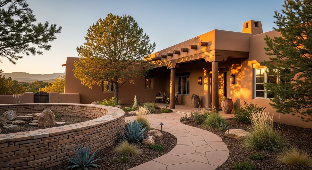
Use your boundary and topo together to study real placement options. Start by mapping view corridors to key landmarks and line up the window and patio orientations that matter most. Then test driveway alignments that minimize steep grades and reduce retaining walls. Finally, balance cut and fill to keep the house anchored to the land while controlling cost and preserving natural features you love.
A simple approach works well: identify two or three promising building pockets with your architect on the topo plan, then walk those staked spots on the ground. Small shifts of a few feet can protect a view, reduce wall height, or improve privacy from a nearby home.
Step-by-step due diligence
A clear process keeps you in control from offer to design.
Pre-offer or early contingency
- Confirm jurisdiction and note the parcel number from assessor/GIS.
- Ask the seller for any prior surveys, septic records, well logs, or site plans.
- If views and siting are the priority, commission a targeted topo or conceptual survey as a contingency.
Under contract, before removing contingencies
- Order a full boundary survey and topo, or an ALTA if your lender or title requires it.
- Review easements, recorded covenants, plat notes, and setbacks against the survey drawing.
- Walk the site with your architect and surveyor to vet building pockets and driveway options.
Before construction
- Authorize construction staking for corners, utilities, and grades.
- Plan for an as-built survey near completion for approvals and records.
What to ask your surveyor
Set expectations in writing so you receive what your design team needs.
- Are you licensed to practice land surveying in New Mexico? Please provide your license number.
- Will you research recorded plats and deeds and list the title exceptions used?
- Deliverables requested: boundary with monuments set, combined boundary/topo, contours at 1–2 ft as needed, improvements located with dimensions, major trees by size threshold, drainage flow arrows, and certification.
- If an ALTA is required, will you coordinate with the title company and follow current ALTA/NSPS standards?
- Can you flag corners and mark the proposed building envelope on site?
- What is the turnaround time, and what is excluded from scope, such as underground utility location without subsurface utility engineering?
Complementary studies to order
Pair your survey with targeted site work to avoid surprises and support permitting.
- Geotechnical/soils report for foundation design and slope stability.
- Septic feasibility or percolation test if the lot is not on sewer.
- Well feasibility and water rights review where a well is planned.
- Tree assessment for protection plans and view management.
- View analysis or sun and shadow study to guide glazing and outdoor space.
- Cultural resource review if required by local or state authorities.
Two quick Monte Sereno scenarios
Real lots bring trade-offs. Your survey helps you weigh them.
- Lot A: Strong ridgeline views, but a utility easement crosses the center. The boundary and ALTA identify the easement width and location, and the topo shows a secondary building pocket below it. You shift siting downslope, preserve the view, and reduce grading.
- Lot B: Steeper slope with rock outcrops. The topo shows a natural bench near the north edge with lower cut and a gentler driveway. You place the house on the bench and use retaining walls as sculptural elements while staying within setbacks.
Red flags to watch
- No recent survey from the seller, or an old survey with no monuments set.
- Easements that cross the best view corridor or the flattest build area.
- Visible encroachments, such as fences or walls over the line.
- Slopes that push practical limits or trigger extra hillside constraints.
- Notes about archaeological resources within or near the lot.
- Ambiguous private-road ownership or missing maintenance agreements.
- Utility challenges, such as long runs or deep cuts to reach connections.
Work with a local advisor
In Monte Sereno, the right survey at the right time protects your budget and your view. Start with boundary and topo, layer in title and code data, and walk the staked options before you finalize plans. If your lender requires it, an ALTA brings added clarity. The goal is simple: design a home that fits the land, respects the rules, and lives the way you want.
If you would like a calm, expert second set of eyes on a lot survey, or an introduction to licensed local surveyors and engineers, reach out to Stedman/Kehoe/Hirsch/Pollack for a private consultation.
FAQs
What survey do I need to buy a Monte Sereno lot?
- For most buyers, a boundary plus topographic survey provides the clarity needed for siting and design; if a lender or title company requires it, add an ALTA/NSPS survey.
How long do Monte Sereno surveys take during due diligence?
- Timelines vary by scope and season; discuss turnaround with your surveyor early so your contingency period and closing schedule align.
Will a survey protect my views in 87506?
- A survey cannot guarantee views, but boundary, topo, setbacks, and easements help you model view corridors and understand where you and neighbors can legally build.
Do I need an ALTA survey for a residential lot?
- Not always; an ALTA is typically lender-driven for high-value or complex parcels, while a combined boundary/topo is often sufficient for design.
Can a survey find encroachments before closing?
- Yes; boundary and improvement-location work identify visible encroachments such as fences, walls, or structures that cross recorded lines or setback areas.