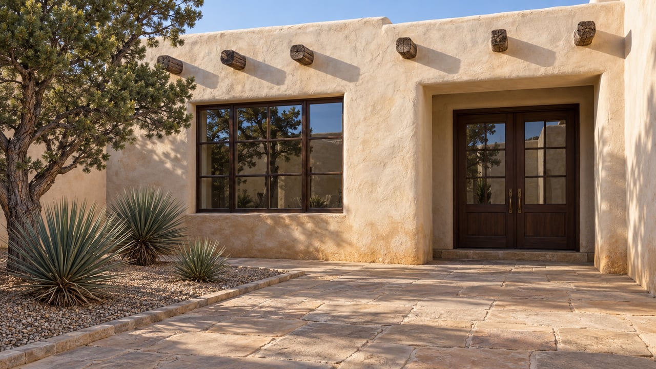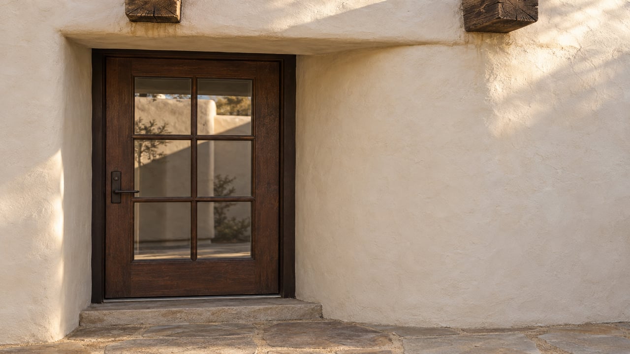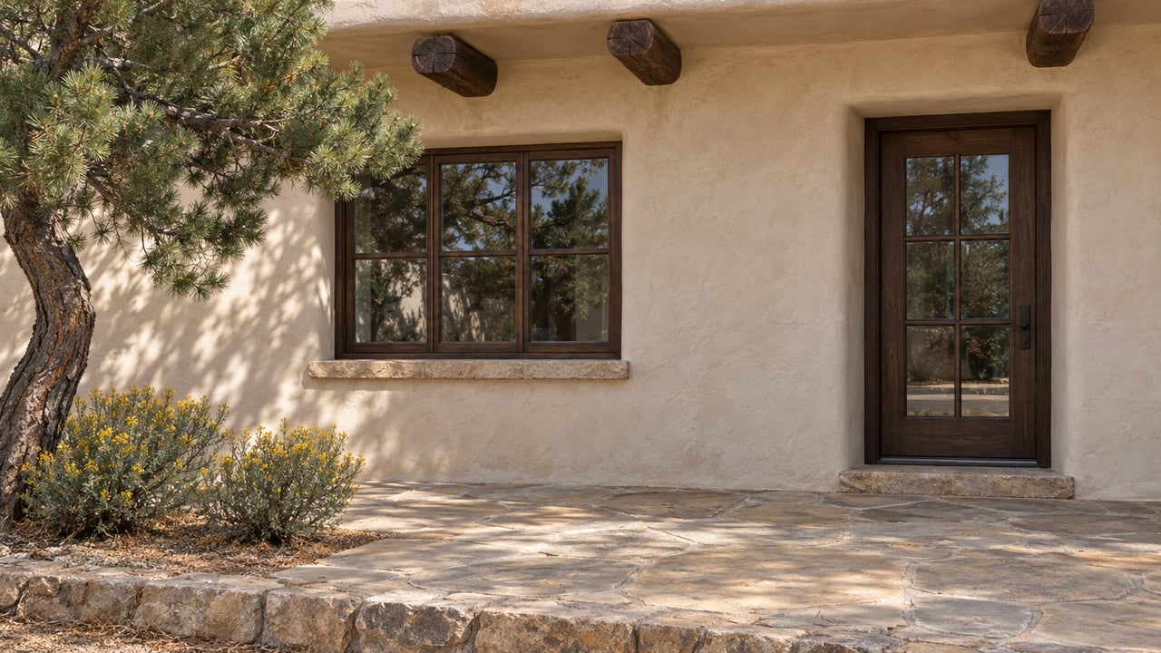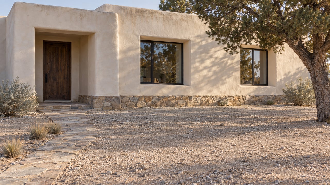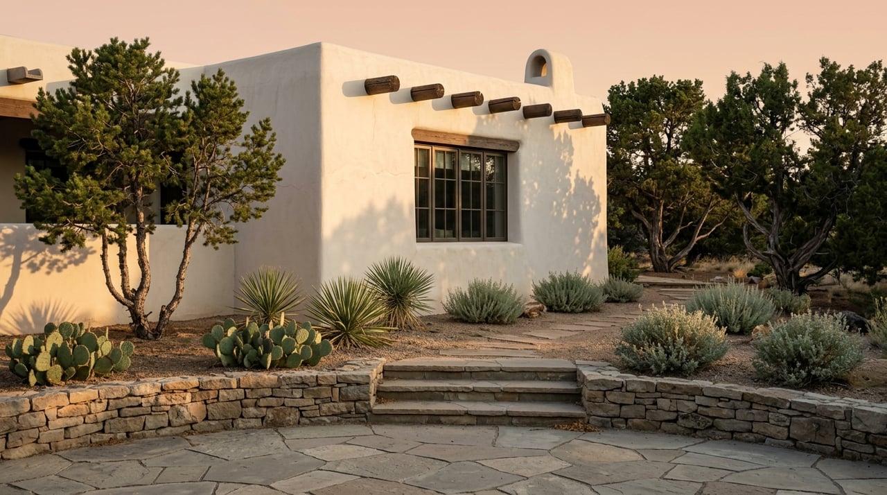
If you are drawn to Tesuque, you are probably not just choosing a house. You are choosing a landscape, a daily rhythm, and a sense of connection to place. In a market where one address can feel rooted in a historic village pattern and another can feel tucked into wooded hills near the forest, it helps to know what those differences really mean. This guide will help you compare Tesuque Village and the foothills so you can focus your search with more confidence. Let’s dive in.
Tesuque Has Two Distinct Settings
Tesuque sits just north of Santa Fe in unincorporated central Santa Fe County, bordered by Santa Fe to the south, Santa Fe National Forest to the east, the Pueblo of Tesuque to the north, and US 285 to the west. Santa Fe County’s Tesuque overlay, amended in 2024, continues to describe the area as a mix of village, river-corridor, ridge, and foothill districts.
That framework matters because it helps explain why Tesuque does not feel uniform. Across the planning area, lot coverage is capped at 20%, which supports the area’s low-intensity character. Even within that shared restraint, the village core and the foothills offer very different experiences.
Tesuque Village Feels More Connected
The village core is shaped by the Traditional Community district and parts of the Rural Commercial Overlay. County rules describe the Traditional Community district as preserving the old village pattern, with mixed lot sizes and shapes, compact residential development, family compounds, secondary dwelling units, community facilities, institutional uses, agricultural uses, and residential-scale home occupations.
In simple terms, this is the part of Tesuque that tends to feel the most village-like. It is more compact, more mixed in use, and more closely tied to the historic settlement pattern that gives Tesuque its character.
The Rural Commercial Overlay adds another layer in the core. Area A is intended to remain a mixed-use village area with neighborhood-scale retail, commercial uses, community facilities, and open space, while Area B near the US 285 interchange functions as a gateway.
If you want a setting where daily life feels more connected to small-scale services and community uses, the village core is often where that pattern is most visible. Buyers looking for that sense of place often focus near Bishop’s Lodge Road and Tesuque Village Road, where those uses are intentionally concentrated.
The Village Core Still Feels Open
More connected does not mean suburban. Along Bishop’s Lodge Road and Tesuque Village Road, county rules are written to keep frontage visually open and historically rural.
That is one reason the core can feel understated rather than built up. You may find a more compact pattern of homes and uses, but the visual experience is still shaped by openness and a rural setting.
In the Residential Community district, that openness is even more explicit. County rules require 75% of a lot to remain open space to support goals such as visual openness, grazing, trail easements, and historic or cultural sites, and solid walls are prohibited.
For a buyer, that often translates into a landscape that feels broad and airy. Privacy may come less from screening and more from the spacing, the land, and the overall planning intent.
The Foothills Feel Larger And More Secluded
The foothills tell a different story. The Residential Fringe district covers contemporary subdivisions established off the valley floor in the surrounding piñon-juniper hills, while the Rural Residential district covers large residential lots in the foothills bordering Santa Fe National Forest.
County language emphasizes less level buildable area, more sloping terrain, and good tree cover in these districts. That description alone captures much of the foothill appeal for buyers who want a landscape-driven setting.
There is also a Residential Estate district, which serves as a transition zone on a flat ridge above the valley floor near Bishop’s Lodge Hills and is accessed by small residential roads. Depending on the property, this can offer some of the elevated feel of the foothills while remaining tied to ridge-top terrain rather than the deeper hills.
If your ideal home search centers on a wooded setting, more separation between properties, and a stronger sense of topographic variety, the foothills will likely feel more aligned. This is often where buyers find the most secluded landscape character in Tesuque.
Lot Size Changes The Experience
One of the clearest differences between the village and foothill settings is density. In the core districts, density is higher at 0.75 acres per dwelling unit in Traditional Community and 1 acre in Residential Community, with open-space standards applying in Residential Community.
As you move outward, density drops. Residential Estate allows 2.5 acres per dwelling unit, Residential Fringe allows 5 acres, and Rural Residential allows 10 acres.
Those numbers help explain why two homes in Tesuque can feel so different. In the village core, you may gain a more connected pattern and easier proximity to community uses. In the foothills, you are often trading that for larger land areas, more natural separation, and a more distinctly rural setting.
Privacy Works Differently In Each Area
Many buyers use the word "privacy," but privacy in Tesuque can take different forms depending on the setting. In the village and valley areas, the planning framework often preserves visual openness rather than enclosure.
In the foothills, privacy often comes from topography, tree cover, and distance between homes. Some smaller lots in those areas are also tied to conservation easements or permanent open space, which can further shape how the land feels from one property to the next.
A helpful shorthand is this: the village core tends to feel visually open and village-like, while the foothills tend to feel wooded, more separated, and more topographically varied. That is not an official county label, but it is a useful way to understand the difference.
Access And Daily Rhythm Matter Too
Your choice is not only about the house or the lot. It is also about how you want your days to feel.
The county’s Tesuque roads safety study centers on Tesuque Village Road, Bishop’s Lodge Road, and Arroyo Griego Road. That reinforces the village core as a road-fronted, corridor-based environment rather than a suburban grid.
For some buyers, that is part of the appeal. You are oriented around the historic roads that structure the community, and your movements through the area can feel more direct and grounded in that traditional pattern.
The foothills often bring a different tradeoff. Santa Fe County’s Little Tesuque Creek Open Space management plan notes limited infrastructure, old roads in poor condition, and limited official parking and trailhead access from Hyde Park Road.
For buyers drawn to direct proximity to natural terrain and trail connections, that can still be compelling. But it is wise to understand that a more remote setting may come with a less convenient access pattern than the village corridors.
Which Tesuque Setting Fits You Best?
If you are deciding between Tesuque Village and the foothills, it helps to anchor your search around how you want to live day to day. Both settings share Tesuque’s low-intensity character, but they deliver it in different ways.
Choose Tesuque Village If You Want
- A more historic and compact setting
- Closer connection to village roads and community uses
- A mixed-use environment near Bishop’s Lodge Road or Tesuque Village Road
- Visual openness with a rural character
- A property search centered on the old village pattern
Choose The Foothills If You Want
- Larger land areas and lower density
- More tree cover and sloping terrain
- A stronger sense of separation from neighboring homes
- A setting near the forest edge or off the valley floor
- A search focused on views, topographic variety, and seclusion
Why Local Guidance Helps In Tesuque
Tesuque is one of those markets where broad descriptions only take you so far. A home may sit in the village core, on a ridge, or in the foothills, and each location can shape everything from the feel of the land to the rhythm of access and daily use.
That is why careful, property-level guidance matters here. Understanding district context, lot character, and how a setting actually lives can help you avoid chasing the wrong version of Tesuque and move more quickly toward the right one.
If you are weighing Tesuque Village against the foothills, a focused conversation can make the choice much clearer. For a private consultation and tailored guidance on Tesuque homes, acreage, and land, connect with Stedman/Kehoe/Hirsch/Pollack.
FAQs
What is the main difference between Tesuque Village and the Tesuque foothills?
- Tesuque Village is generally more historic, compact, and connected to mixed-use village corridors, while the foothills are typically larger, more wooded, and more secluded.
What are lot sizes like in Tesuque Village compared with the foothills?
- County zoning allows denser patterns in the core, including 0.75 acres per dwelling unit in Traditional Community and 1 acre in Residential Community, while foothill areas range from 2.5 acres in Residential Estate to 5 acres in Residential Fringe and 10 acres in Rural Residential.
What does privacy feel like in the Tesuque foothills?
- In the foothills, privacy often comes from sloping terrain, tree cover, and more space between homes rather than from walls or dense screening.
Are there mixed-use areas in Tesuque Village?
- Yes. The Rural Commercial Overlay in the village core is intended to support neighborhood-scale retail, commercial uses, community facilities, and open space.
How do roads and access differ between Tesuque Village and the foothills?
- The village core is structured around county road corridors like Tesuque Village Road and Bishop’s Lodge Road, while foothill areas may involve more limited infrastructure and less direct trailhead or road access in some locations.
Is Tesuque still considered low-intensity in character?
- Yes. Santa Fe County’s Tesuque overlay maintains a low-intensity planning approach, including a 20% cap on lot coverage across the planning area.